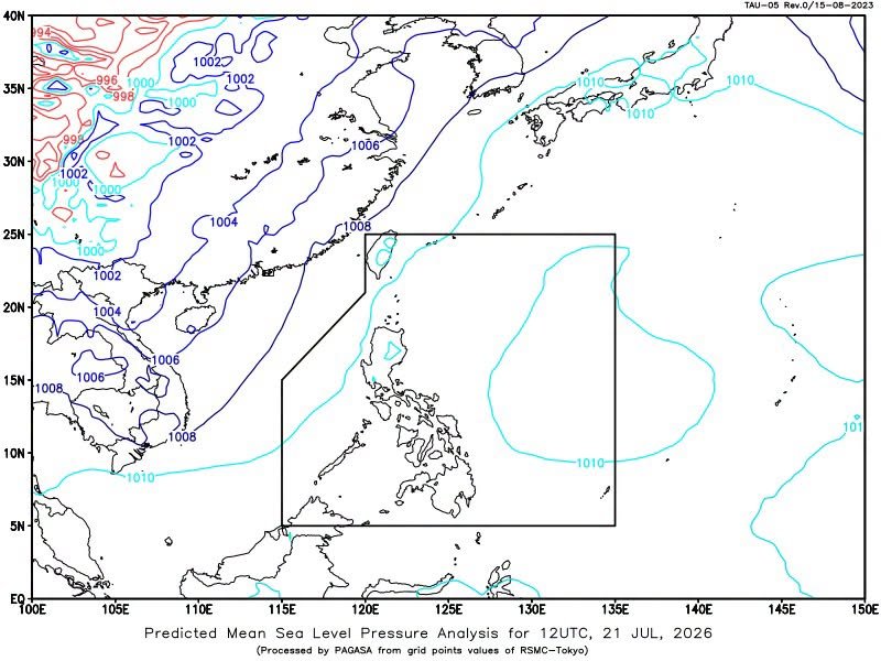
MANILA(July 21) — A low pressure area (LPA) outside the Philippine Area of Responsibility (PAR) has a medium chance of developing into a tropical depression, the state weather bureau said Tuesday.
The Philippine Atmospheric, Geophysical and Astronomical Services Administration (PAGASA) said the LPA was located about 1,630 kilometers east-southeast of Luzon as of 3 a.m. Tuesday.
The weather disturbance developed into an LPA at 8 p.m. Monday and has a medium chance of becoming a tropical depression within the next 24 hours.
PAGASA weather specialist Veronica Torres said the system could enter PAR by Tuesday afternoon or Wednesday morning.
Meanwhile, the southwest monsoon, locally known as habagat, is expected to bring rains to parts of the country, including Metro Manila and several areas in Luzon and Mindanao.
Metro Manila, Ilocos Region, the Cordillera Administrative Region, MIMAROPA, Batanes, the Babuyan Islands, Zambales, Bataan, Cavite and Batangas may experience partly cloudy to cloudy skies with isolated rain showers or thunderstorms.
The rest of Mindanao may also see isolated rain showers or thunderstorms due to the habagat.
Western Visayas, the Negros Island Region, the Zamboanga Peninsula and the Bangsamoro Autonomous Region in Muslim Mindanao (BARMM) may experience cloudy skies with scattered rains and thunderstorms.
The rest of the country may have partly cloudy to cloudy skies with isolated rain showers or thunderstorms caused by localized thunderstorms.
PAGASA advised the public, particularly those in areas prone to flooding and landslides, to remain alert for sudden changes in weather conditions and to monitor official weather updates.